NOTE: not all images have finished loading. Please cancel printing, wait a few moments and try to print again. All images should then be visible.
Munster Admiralty Paths
A Munster Conservancy Project
The Munster Admiralty Reserve is part of the Kwa-Zulu Natal Costal Zone that includes the seashore, coastal waters and coastal buffer zone. It is generally defined as a strip of land between 45 to 60 metres wide, inland of the high-water mark. It is designated as a development restriction zone and it connects the coastal and inland biodiversity, creates dune stability and prevents coastal erosion.
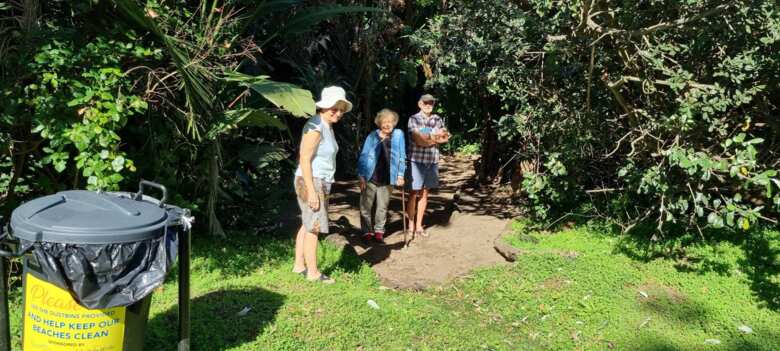
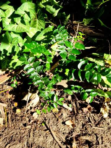
Various paths through the Admiralty Reserve lead from the inland side of the Admiralty strip to the beach. The Munster Conservancy works with the "Grat-TREE-tudes" group to identify indigenous and invasive plants and shrubs along several Admiralty paths in Munster. They also label trees to identify them by their botanical and common names. The purpose of this project is to help people appreciate the diversity of fauna and flora that exists along this conservancy area, and to raise awareness of its great value.
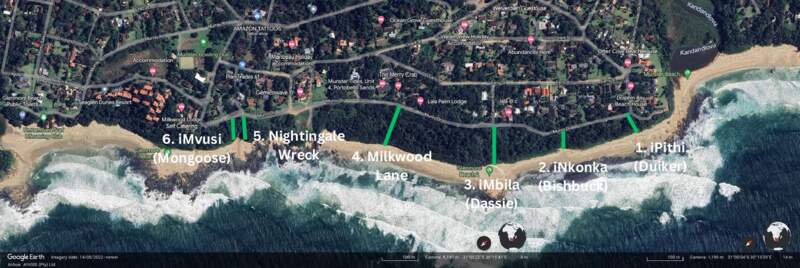
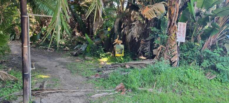
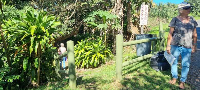
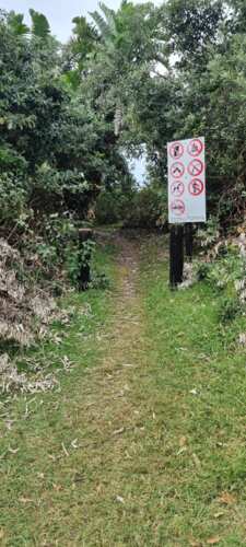
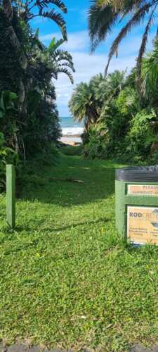
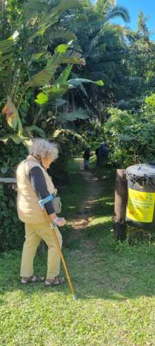
This guide to the Munster Admiralty Reserve includes pictures of the entrances to each path, as well as the identified plants and shrubs that can be found there.
For more information about the Admiralty Reserves watch the presentation by Dr Yvette Ehlers-Smith, District Ecologist Ezemvelo KZN Wildlife, given at a Conservancies KZN South meeting in Munster.
Table of Contents
- iPithi (Duiker) Path
- iNkonka (Bushbuck) Path
- iMbila (Dassie) Path
- Milkwood Lane Path
- Nightingale Wreck Path
- iMvusi (Mongoose) Path
iPithi (Duiker) Path
iNkonka (Bushbuck) Path
iMbila (Dassie) Path
Milkwood Lane Path
Nightingale Wreck Path
iMvusi (Mongoose) Path
This page is also available in
PDF format from
https://munsterconservancy.co.za/pdf/MunsterAdmiraltyPaths.pdf.
.jpg)
.jpg)
.jpg)
.jpg)
.jpg)
.jpg)
.jpg)
.jpg)
.jpg)
.jpg)
.jpg)
.jpg)
.jpg)
.jpg)
.jpg)
.jpg)
.jpg)
.jpg)
.jpg)
.jpg)
.jpg)
.jpg)
.jpg)
.jpg)
.jpg)
.jpg)
.jpg)
.jpg)
.jpg)
.jpg)
.jpg)
.jpg)
.jpg)
_(vine).jpg)
![Rivina humilis (Blood Berry) [invader]](images/Admiralty/iMbila/tn_Rivina_humilis_(Blood_Berry).jpg)
.jpg)
.jpg)
.jpg)
.jpg)
.jpg)
.jpg)
.jpg)
.jpg)
.jpg)
![Chenopodium (Goosefoot) [invader]](images/Admiralty/Milkwood_Lane/tn_Chenopodium_(Goosefoot).jpg)
.jpg)
.jpg)
.jpg)
.jpg)
![Polystichum munitum (Sword Fern) [invader]](images/Admiralty/Milkwood_Lane/tn_Polystichum_munitum_(Sword_Fern).jpg)
.jpg)
![Cryptonium falcatum (Holly Fern) - FRONT [exotic]](images/Admiralty/Nightingale_Wreck/tn_Cryptonium_falcatum_(Holly_Fern)_-_FRONT.jpg)
![Cryptonium falcatum (Holly Fern) - BACK [exotic]](images/Admiralty/Nightingale_Wreck/tn_Cryptonium_falcatum_(Holly_Fern)_-_BACK.jpg)
.jpg)
.jpg)
.jpg)
.jpg)
![Lantana camara and Wedelia triloba (Yellow Daisy) [invader]](images/Admiralty/Nightingale_Wreck/tn_Lantana_camara_and_Wedelia_triloba_(Yellow_Daisy).jpg)
.jpg)
.jpg)
.jpg)
![Cestrum laevigatum (Inkberry) [invader]](images/Admiralty/iMvusi/tn_Cestrum_laevigatum_(Inkberry).jpg)
.jpg)
.jpg)
.jpg)
![Schefflera (Umbrella Tree) [invader]](images/Admiralty/iMvusi/tn_Schefflera_(Umbrella_Tree).jpg)
.jpg)